
Winter Park ZIP Code Roles
Four postal codes carry the Winter Park name, but they do not perform the same job. Two cover street delivery and two are used for post office boxes. The ZIP code directory therefore starts with function, not just number. A code on an envelope says how the Postal Service routes mail. It does not prove that the address lies within Winter Park city limits or that the city keeps its local records.
| ZIP Code | Areas Covered | Post Office | Notes |
|---|---|---|---|
| 32789 | Core and western Winter Park, downtown, Park Avenue, Hannibal Square, Rollins area | Winter Park Post Office, 300 N New York Ave | Principal city code; test edge addresses |
| 32790 | Post office boxes | Winter Park Post Office | Not a residential boundary |
| 32792 | Eastern postal area and county pockets toward Semoran and Goldenrod | Stations serving east Winter Park | Extends outside the incorporated city |
| 32793 | Post office boxes tied to east Winter Park service | USPS | Non-geographic; verify current assignment |
A 32790 or 32793 result identifies a box route, not a block of homes. A 32792 address may use Winter Park for mail while county agencies handle permits or records. For current routing, use the USPS ZIP Code Lookup. The source does not publish an official neighborhood-by-neighborhood boundary account, so every edge address needs its own check.
The USPS form used for that check is shown below. Its result supplies the mail code, which can then be compared with county and city maps.
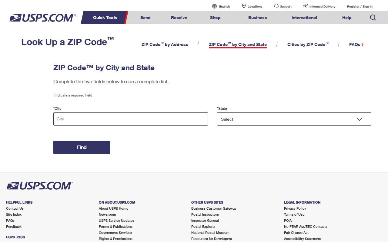
The lookup is authoritative for delivery, while map sources answer the separate jurisdiction question.
Winter Park Postal Residency Quirk
A Winter Park mailing line is not proof of city residence. The clearest local example comes from the independent Winter Park Library. Staff may use the Orange County Property Appraiser to decide whether a card applicant lives within municipal limits, even when the applicant's mail says Winter Park. Apply that test before asking for permits, board files, or city records.
Find the parcel in the OCPA Webmap and turn on the Jurisdiction layer. The record distinguishes its situs address, the physical location assigned to the property, from an owner's mailing address. If the map places the land outside Winter Park, direct the request to Orange County or the correct neighboring city.
Winter Park's official map collection adds street, zoning, service-area, historic-district, and CRA context.
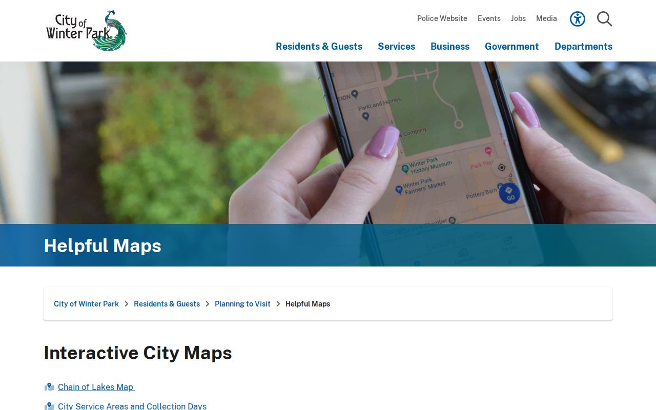
These maps show why the postal name, service area, and municipal record keeper may not line up.
Map Winter Park ZIP Boundaries
OCPA Webmap carries separate ZIP Code and Jurisdiction layers. Keep both visible. The ZIP layer shows postal-code geometry; the Jurisdiction layer shows which government has authority. The viewer can search by SITUS, parcel number, owner, or address point. Address points may include units and stores, while parcel situs identifies the taxable tract.
| Search or layer | Use in a ZIP lookup |
|---|---|
| SITUS | Find the physical parcel address and mapped ZIP |
| Parcel | Confirm one tract when street values vary |
| Address Point | Locate units, stores, and other mapped points |
| ZIP Code layer | See postal geometry across parcels |
| Jurisdiction layer | Separate city land from county pockets |
A ZIP-wide property result is an owner and parcel set, not a full resident roll. Owners may receive mail elsewhere, and many occupants do not own their home. OCPA also states that its map is not a survey.
Note: Do not use an interactive ZIP boundary to settle a survey or title dispute.
Find Winter Park Residents by ZIP
A ZIP code can narrow an owner or voter data set, but each source describes a different group. OCPA returns taxable parcels and named owners. An Orange County voter-file extract can include nonprotected registered voters and residential ZIP fields after statutory redactions. Neither is a complete household list. Use the ZIP as a filter, then verify each name and address in the record that produced it.
- Verify the full address with USPS so the mail code is current.
- Find the parcel and compare the ZIP and Jurisdiction layers.
- Inspect owner, situs, mailing address, parcel ID, and sales in OCPA.
- For voter research, request an Orange County extract with the needed ZIP field and accept statutory redactions.
- Move to the Winter Park street directory for a specific road or block.
This order prevents two errors: calling an owner an occupant, and treating a postal boundary as a city line. A ZIP code directory narrows geography; it does not prove who lives at each address.
CRA Lines Are Not ZIP Codes
Winter Park's Community Redevelopment Agency boundary can look like a neighborhood division. It is neither a postal code nor a city line. The CRA began in 1994, expanded in 1999, and expanded again in 2024. The West Fairbanks addition covered about 142 acres and 307 parcels, generally along West Fairbanks between US 17-92, Interstate 4, and Minnesota Avenue.
That change affects which parcels may appear in CRA plans, grants, minutes, and redevelopment files. It did not itself create a ZIP code. Compare the Winter Park CRA information with postal and jurisdiction layers.
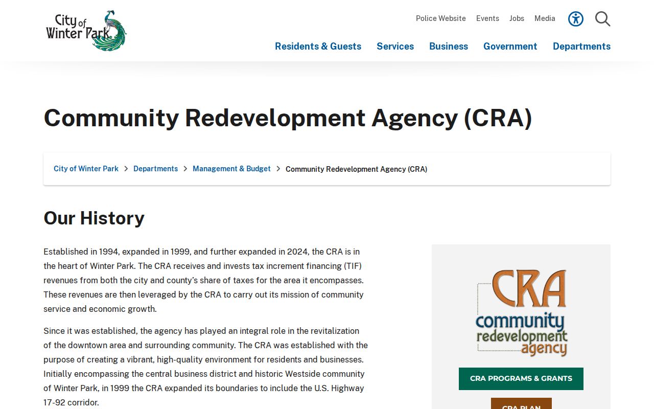
The CRA view supports civic research, while ZIP and jurisdiction views answer mail and custody questions.
Three Winter Park Address Fields
A parcel can carry three useful descriptions. Situs marks its physical location. Mailing address routes tax notices and may be in another city or state. Legal description identifies land by subdivision, lot and block, or metes and bounds. Old deeds may use the legal description even when a street number has changed.
- ZIP and ZIP+4
- A ZIP sorts mail broadly; ZIP+4 adds a smaller delivery segment.
- PO-box ZIP
- A code for boxes at a post office, not a mapped home area.
- Unique ZIP
- A code assigned to one large organization. Research found no such Winter Park code.
- Carrier route
- A delivery path within part of a ZIP, not a city boundary.
For a historic address, the legal description is the best bridge to deeds. Downtown work needs extra care because Winter Park's 2009 survey documented posted addresses that differed from OCPA values.
Historic Winter Park ZIP Research
ZIP codes are modern mail tools, so they should not be projected backward onto early Winter Park records. A 1919 Sanborn map, an 1880s town map, or a 1940 directory entry may identify a street, lot, building, or postal route without today's five-digit code. Historic research works best when the old address is matched to a map and legal description first, then connected to a current parcel and ZIP.
Winter Park has a rich map sequence: Robinson town maps from 1883 and 1885, Hiram Powers maps from 1915, 1920, and 1924, Sanborn maps from 1919, 1924, and 1927, plus a 1938 Chamber map. Compare those sources with the city's historic-register address table and OCPA. The process also protects against assuming that a familiar neighborhood name has always shared today's ZIP boundary.
Ask the Winter Park Library Archives about map and house files when the online view leaves a gap. Physical materials are available by appointment, and fragile or unarranged items may have access limits. Once the parcel is identified, use current postal tools only for present-day routing.
Winter Park ZIPs and City Limits
Postal and municipal boundaries answer different questions. USPS decides the mailing city and code. OCPA maps the parcel and taxing jurisdiction. Winter Park maps add service and planning context. An address can say Winter Park in 32792 while its land remains in unincorporated Orange County. The right permit office and public-record custodian follow jurisdiction, not the city name on the envelope.
No official source here establishes a recent Winter Park ZIP split or a precise neighborhood narrative for every border. Verify the full address in USPS, check the OCPA Jurisdiction layer, and use city maps for context. Annexation, redevelopment, and postal routing can change on separate schedules.
Boundary check. A Winter Park ZIP code does not prove Winter Park residency. Confirm every edge parcel before choosing a records office.